The AllTrails App
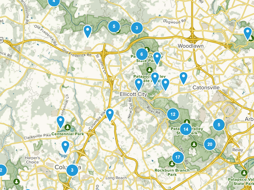
Ever come across a trail intersection and wonder where the other trail went? Hesitant to try out new trails without a detailed map of the area? Check out the AllTrails app, available on both iOS and android, this app can help you plan your hikes and explore new trails while you are out in the park. The app is also available in both English and Spanish, simply change it in your account preferences. With over 60,000 trails catalogued and plenty within the Patapsco Valley, AllTrails is an excellent resource for looking up new trails or just offshoots of your favorites. The app allows you to use several overlays such as satellite view or trail map view to help orient your position and find familiar landmarks, as well as see comments and recommendations from other local hikers. AllTrails is free to use but also has a paid membership version if you find it worth paying for. Keep in mind that while you can use AllTrails outdoors you may lose signal in some areas, so plan ahead.
.
Socially Distanced Hiking
In accordance with Covid-19 precautions, we are not going to highlight a specific trail with this blog. Instead we will walk through the features of AllTrails using aspects of several hikes. We strongly recommend avoiding popular trails such as cascade falls, or the grist mill trail, which makes it a great opportunity to check out some new, less crowded trails.
Trail Map Layers
Naturally, AllTrails contains maps and locations of many trails through the Patapsco Valley, but it also allows you to view them with multiple different map layers. These different layers can help highlight the trail path, put it in context of landmarks visible on sattelite view, or help point out various roads nearby. Check out the same path below with several different layers for context:
Elevation Profile
Another helpful tool on the AllTrails app is the elevation profile. It can be rather difficult to visualize the terrain on standard maps, and even topographical maps can be difficult to read clearly. A clear cut elevation profile can quickly and accurately give you an idea of the hills you will be facing on your hike. You can even work out paths that target your intended level of difficulty!
Trail Photos
Now is the time to explore new areas and find new trails to hike, but you still want to know what you are heading towards right? Why not check out any of the numerous photos shared on the AllTrails app, pinned to various areas? These photos can give you a glimpse into what a new trail holds in various seasons before you even get to the trail head. Check out some pictures below posted to the Union Dam Trail:
